There are several options to reach "La Islita" along the slope of Curruhuinca hill.
Duration: One day
Distance: 10 kms
Recommendations: Take water, a warm jacket and do not forget that the way goes across homes that belong to the Mapuche community, so it is recommended to respect the environment, their habits and be cautious with animals
Enabled: Summer, Autumn, Winter, Spring
Description tour: La Islita
One of the most beautiful landscapes, but also one of the most demanding, due to the constant rise of 3 de Caballería and Los Helechos streets. Then you leave behind the residential lot Altos del Sol along a strecht on the left that joins the Provincial Road Nº 48 leading to Hua Hum.
Another option is to take the National Road Nº 234 to Junín de los Andes, going up Cuesta de los Andes until the junction with the Provincial Road Nº 48 and then take this one to the left.
The way to Bandurrias Viewpoint
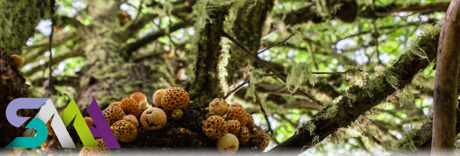
After passing the curve of the Mirador del Balcón you will see the way that leads to Bandurrias viewpoint and La Islita. You will go through a forest located on the Southern slope of Curruhuinca hill, among a varied vegetation of Oak, Radal and Coihue trees, a wide variety of bushes such as Michay and Rosa Mosqueta, ferns and wild strawberries. The way becomes easier, until reaching the metal screen used by the local phone service.
From here on, a descent until the school starts, where you will find two ways. On the left there is the way that leads to Bandurrias Viewpoint where you will be able to see the city and the lake. On the right you will find the final strecht to La Islita. Already in the Paraje Trompul, we can see the houses and gardens of local people. In some of them you can buy homemade bread, strawberries, marmalades, raspberries, etc. This part the way is easy with short ups and downs, until the access to the beaches Blanca and La Islita.
When you return you can take the same road or a pedestrian path that runs from the entrance of the viewpoint until the coast of Lácar Lake. The last option is recommended only for very experienced cyclists since the way is steep, there are roots and big stones. At the end of the circuit and reaching the lake, you can visit the Fish Trap.
The return along Trompul
The adventurous in excellent physical condition have the possibility to extend the circuit going along the main road. You will face a steep slope up which diverts on the right across Mapuche lands, until you reach the Provincial Road Nº 48.
On the left you will see Trompul Stone. You should take the main road on the right. During the way you will face ups and downs until you reach the city of San Martín de los Andes.

Office: Secretaría de Turismo - Av. San Martín y Juan Manuel de Rosas
Opening hours: 7:00hs a 14:00hs
Phone: 02972-425500
 Back to: Sports and Adventure
 Visit also:
Trekking,
Meetings and Events,
Horseback_Riding,
Mountaineering


